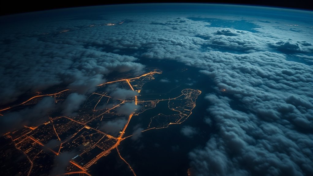
AI-powered satellite reconnaissance offers you groundbreaking real-time insights by automating the analysis of high-resolution images from space. This technology helps you detect environmental changes, monitor security threats, and track urban growth quickly and accurately. With advancements in sensors and pattern recognition, you gain deeper understanding of Earth’s activities with less human effort. Keep exploring, and you’ll discover how these innovations are shaping the future of planetary monitoring and strategic decision-making.
Key Takeaways
- AI automates satellite image analysis, enabling rapid detection of environmental, infrastructural, and security changes from space.
- Advanced sensors and pattern recognition algorithms improve image resolution and accuracy for better geospatial insights.
- Satellite reconnaissance powered by AI supports real-time monitoring of border security, disaster zones, and market activities.
- Integration of AI enhances the reliability of identifying targets like illegal activities, troop movements, and deforestation.
- Future developments will expand real-time data collection and deepen understanding of Earth’s systems for strategic decision-making.

Have you ever wondered how surveillance technology keeps watch over our world? It’s largely thanks to satellite imaging, a game-changing tool that captures detailed images of Earth’s surface from space. These images serve as the foundation for geospatial analysis, a process where data from satellite images is examined to interpret patterns, monitor changes, and gather essential intelligence. With advancements in AI, this technology has become faster, more accurate, and capable of providing real-time insights that were once impossible.
Satellite imaging combined with AI revolutionizes surveillance, offering faster, smarter insights into our changing world.
When you think about satellite imaging, picture high-resolution cameras orbiting hundreds of miles above the ground, constantly snapping photos of everything below. These images aren’t just pretty pictures—they’re loaded with information. Analysts use geospatial analysis to detect shifts in infrastructure, track environmental changes, or identify suspicious activities. This process involves layering satellite images with other data sources, like weather patterns or population movements, to create a thorough picture of what’s happening on the ground. The integration of AI automates much of this analysis, enabling rapid identification of anomalies or targets that require attention. Additionally, the use of AI in security enhances the precision and reliability of these analyses, making them indispensable tools for modern intelligence. The ongoing development of satellite technology continues to expand the possibilities for real-time monitoring and data collection. Moreover, AI-driven pattern recognition helps streamline the interpretation process, reducing delays and increasing accuracy. Advances in sensor technology are also improving the resolution and quality of satellite images, further refining analysis capabilities.
AI-powered algorithms sift through vast amounts of satellite data, highlighting areas of interest with remarkable speed. Instead of manually examining thousands of images, you now have systems that can detect deforestation, illegal mining, or troop movements almost instantaneously. This efficiency means decision-makers receive timely, actionable intelligence, giving them a strategic edge. Whether it’s monitoring border security, disaster response, or urban development, these technologies help you understand the world with unprecedented clarity.
Moreover, satellite imaging combined with geospatial analysis doesn’t just serve governments or military entities; it’s also critical for businesses and environmental agencies. Companies can track supply chain logistics or assess market opportunities by analyzing terrain and infrastructure remotely. Environmental organizations leverage this technology to monitor climate change impacts or deforestation, helping shape policies for conservation. High-resolution imagery further enhances the level of detail available for analysis, making insights even more precise.
What’s most impressive is how AI enhances the capabilities of satellite imaging and geospatial analysis, making them more accessible and dependable. It reduces human error, speeds up data processing, and uncovers insights that might otherwise go unnoticed. As these tools evolve, they’ll continue to shape a future where surveillance isn’t just about watching but understanding our planet better. So next time you see a satellite image or hear about geospatial analysis, remember it’s AI-powered eyes in the sky working tirelessly to keep us informed about our intricate world.
Frequently Asked Questions
How Do AI Satellites Differentiate Between Civilian and Military Targets?
You might wonder how AI satellites differentiate between civilian and military targets. They use advanced target classification algorithms that analyze patterns, structures, and activity levels. These systems cross-reference data to reduce false positives, ensuring accuracy. By learning from vast datasets, AI improves its ability to identify genuine military targets while minimizing errors. This process helps prevent misidentification, making satellite intelligence more reliable and effective for strategic decision-making.
What Are the Privacy Concerns Related to Satellite Imagery Collection?
Imagine the eyes that never blink—satellite imagery raises serious privacy concerns. You might feel watched, prompting worries about data privacy and surveillance ethics. These satellites capture detailed images that can infringe on personal spaces and sensitive locations. As technology advances, you must question how data is used, stored, and who has access, balancing national security with individual rights. It’s a delicate dance between innovation and respecting the boundaries of privacy.
How Quickly Can Satellite Data Be Processed and Analyzed After Collection?
You can get satellite data processed and analyzed rapidly thanks to advancements in AI, often enabling real-time analysis. Data latency has markedly decreased, sometimes providing insights within minutes of collection. This quick turnaround allows you to respond swiftly to emerging situations, making satellite imagery more effective for decision-making. With ongoing technological improvements, expect even faster processing times, enhancing your ability to utilize geospatial intelligence effectively.
What Are the Limitations of AI in Satellite Image Interpretation?
You should know that AI faces limitations in satellite image interpretation due to machine learning biases, which can lead to misclassification, and data resolution challenges, impacting detail accuracy. These issues may cause false positives or overlook critical features. While AI accelerates analysis, you must remain cautious, ensuring models are trained on diverse, high-quality data to minimize biases and improve interpretation accuracy in complex or low-resolution images.
How Is Satellite Reconnaissance Used During Natural Disasters?
During natural disasters, satellite reconnaissance plays a crucial role in disaster prediction and emergency response. You can rely on satellite imagery to assess damage, identify affected areas, and monitor evolving situations in real-time. This technology helps you plan evacuations, allocate resources efficiently, and coordinate rescue efforts. By providing accurate, timely data, satellite reconnaissance enhances your ability to respond swiftly and effectively, ultimately saving lives and reducing disaster impacts.
Conclusion
As you watch the horizon, imagine satellites as vigilant eyes that never blink, constantly gathering essential intel. Just like a lighthouse guides ships through foggy nights, AI-powered satellite reconnaissance illuminates hidden truths from space, turning silent images into powerful insights. With over 2,000 satellites orbiting Earth, your view of the world becomes clearer and more connected. Embrace this skyward watchtower, because in today’s world, eyes in the sky truly keep us one step ahead.


