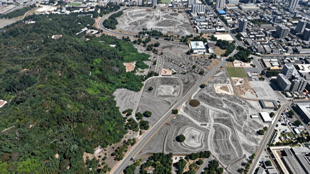

Geospatial AI detects changes across large areas by analyzing satellite images taken at different times. It uses advanced machine learning algorithms to classify land cover, track subtle shifts, and identify significant surface alterations like deforestation or urban growth. These systems process huge datasets quickly, providing near real-time alerts to support decision-making in environmental management or urban planning. If you keep exploring, you’ll discover how this technology continues to evolve and impact various fields.

Get privacy and security gear delivered free — and shop member deals
- Fast, free delivery on millions of items
- Access to Prime Big Deal Days deals on October 6–7
- Prime Video, Amazon Music and more included
Key Takeaways
- Analyzes satellite imagery over time to identify differences indicating surface changes.
- Uses machine learning algorithms to classify land cover and detect subtle shifts.
- Automates monitoring with AI-driven systems that generate real-time change alerts.
- Processes vast datasets quickly to recognize both natural and human-induced transformations.
- Integrates historical data to predict future landscape evolution and support decision-making.
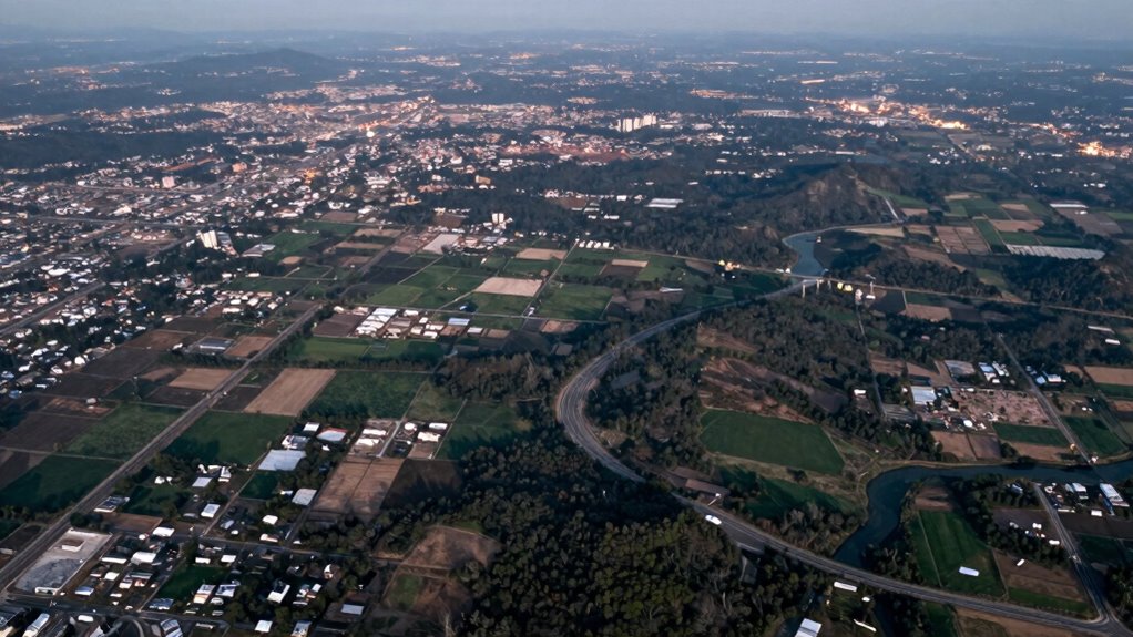
Advancements in geospatial artificial intelligence are revolutionizing how we detect and analyze change on the Earth’s surface. With the help of satellite imagery, you can monitor vast areas over time, capturing details that were once difficult to observe. These images provide a rich source of data that, when combined with powerful data analytics, allow you to identify subtle shifts and significant transformations across large regions quickly and accurately. The integration of automated monitoring systems ensures continuous oversight, reducing the need for manual review and enabling faster response times. Instead of relying solely on manual observations or traditional methods, you now have AI-driven tools that automate the process, saving time and reducing human error.
Satellite imagery serves as your eyes in the sky, offering high-resolution, multispectral images that reveal everything from urban expansion to deforestation. When you process this data with advanced analytics, you can detect change by comparing images taken at different times. The AI algorithms analyze pixel patterns, spectral signatures, and spatial relationships to pinpoint areas where notable alterations have occurred. This approach enables you to distinguish between natural variations and meaningful changes, such as new construction, crop harvesting, or environmental degradation.
Data analytics plays an essential role in transforming raw satellite data into actionable insights. By applying machine learning models, you can classify land cover types, track the progression of land use over years, and even predict future trends based on historical patterns. These models learn from large datasets, continuously improving their accuracy in change detection. As a result, you’re equipped to identify even minor shifts—like a small patch of deforestation or a new road—across regions spanning hundreds or thousands of square kilometers, all in near real-time. Additionally, the integration of advanced machine learning techniques enhances the precision and efficiency of these detections, allowing for more nuanced understanding of environmental changes.
This combination of satellite imagery and data analytics doesn’t just provide snapshots of change; it offers an extensive, dynamic view of the Earth’s evolving landscape. You can set up automated monitoring systems that alert you when significant changes occur, enabling prompt responses for conservation, urban planning, or disaster response. The ability to process immense datasets rapidly means you’re no longer limited by manual review, and you can focus your efforts on interpreting the insights rather than gathering them.
Ultimately, geospatial AI empowers you to understand how large areas evolve over time with unprecedented precision. It bridges the gap between raw satellite data and meaningful knowledge, giving you the tools to make informed decisions about land management, environmental protection, and infrastructure development. As these technologies continue to advance, your capacity to detect and analyze change across vast regions becomes faster, more accurate, and more impactful. The integration of emerging trends in digital publishing with geospatial AI further enhances this capability by facilitating broader dissemination and collaborative analysis of spatial data.
satellite imagery analysis software
As an affiliate, we earn on qualifying purchases.
As an affiliate, we earn on qualifying purchases.
Frequently Asked Questions
How Accurate Is Geospatial AI in Detecting Small-Scale Changes?
Geospatial AI can be quite accurate in detecting small-scale changes, but its precision often faces limitations. Your ability to identify minor alterations depends on the quality and resolution of the data, as well as the algorithms used. While it excels at large-area analysis, small-scale accuracy can be affected by precision limitations, so you might miss very subtle changes unless you utilize high-resolution imagery and advanced techniques.
What Are the Main Challenges in Large-Area Change Detection?
Imagine trying to spot a single star in a brightly lit city—challenging, right? Large-area change detection faces hurdles like data privacy concerns, which limit data sharing, and data integration issues, making it tough to combine diverse sources effectively. These challenges can obscure subtle changes across vast regions. Overcoming them requires balancing privacy with data access and developing robust methods to synthesize varied datasets seamlessly.
How Does Weather Impact Geospatial AI Data Collection?
Weather, especially climate patterns like rain, fog, and storms, can profoundly impact your geospatial AI data collection. These conditions reduce data reliability by obscuring satellite or aerial imagery, making it harder for your systems to detect changes accurately. Unpredictable weather can delay data acquisition and introduce errors, so you need to plan for weather variability and incorporate robust data validation methods to guarantee reliable change detection over large areas.
Can Geospatial AI Differentiate Between Natural and Human-Made Changes?
You might think geospatial AI struggles to distinguish natural from human-made changes, but it excels in environmental monitoring and urban development. By analyzing patterns, spectral data, and temporal sequences, it can accurately differentiate between deforestation and construction, wildfires and urban expansion. Advanced algorithms incorporate contextual clues, ensuring precise identification. This capability helps you monitor ecological health and urban growth effectively, making geospatial AI a powerful tool for sustainable planning and resource management.
What Industries Benefit Most From Large-Area Change Detection?
You’ll find industries like urban planning and agriculture benefit most from large-area change detection. Urban expansion monitoring helps city planners manage growth effectively, while agricultural monitoring allows farmers to track crop health and land use over vast areas. Geospatial AI quickly identifies changes, enabling timely decisions. These industries rely on this technology to optimize land use, improve resource management, and support sustainable development across large regions.
Conclusion
As you harness the power of geospatial AI, you open a crystal ball that reveals changes across vast landscapes with remarkable clarity. Like a vigilant guardian, it keeps watch over the Earth’s shifting face, alerting you to subtle transformations before they become obvious. With this technology, you’re not just observing the world—you’re actively shaping a smarter, more responsive future. In this dance with data, geospatial AI becomes your ever-watchful partner, guiding you through the tides of change.
Fall Picks
fall essentials
As an affiliate, we earn on qualifying purchases.